
September 21, 2026 documentation drive

Road Survey

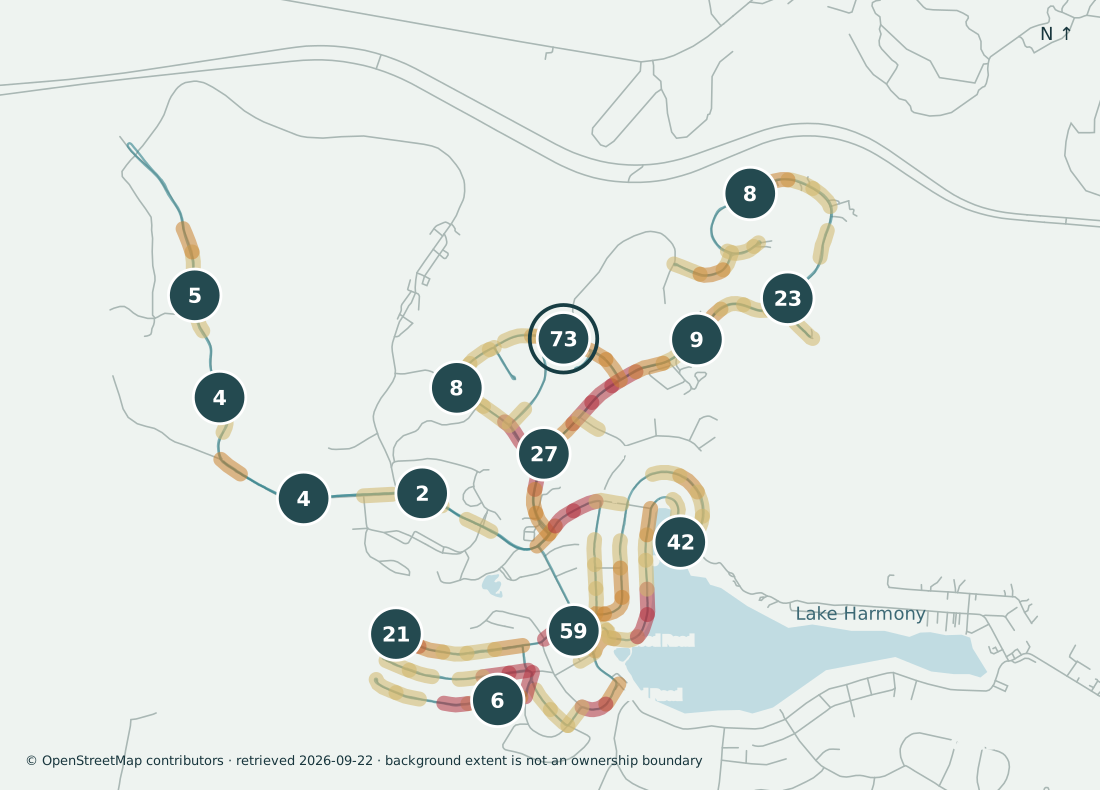
Numbered circles are screening concentrations — recorded sightings, not unique verified hazards. Colored road sections are review concentrations, not severity. The map is not a parcel map, ownership map, or boundary survey.

Community · candidate concentrations
Loading survey records…
● Pavement ▲ Vegetation ■ Parking / obstruction ◇ Cracking context — Lower concentration — Medium concentration — Higher concentration

Colored road sections are review concentrations, not severity or unique hazards. Teal route = recorded coverage. Markers locate the camera, not surveyed defects.

Survey record

The heat map and the meeting one-pager are the same survey, shown two ways. Open either in full.

2026-09-21

Road survey map — September 21, 2026 drive

Community view from the road survey. Colored road segments show the recovered camera route. Numbered circles mark screening concentrations. Counts are recorded sightings, not unique verified hazards.
Download

2026-09-23

Meeting one-pager

One-page handout prepared from the September 21, 2026 drive and the September 23 register snapshot. It is a discussion aid. Field verification remains necessary.

Open PDF

Open the PDF

Roads included in the drive

These names come from the survey’s nearest-road field. They are location labels, not ownership or maintenance findings.

  • Barni Lane
  • Beechwood Road
  • Big Boulder Road
  • Boulder Road
  • Chestnut Road
  • Corson Road
  • Crest Drive
  • Forrest Drive
  • Greenwood Road
  • Kent Clarke Road
  • Larch Street
  • Lodge Hill Road
  • Maplewood Road
  • Matz Pass
  • Moseywood Road
  • Quail Run
  • Rockridge Road
  • South Lake Drive
  • Split Rock Road
  • Splitrock Road
  • Wolf Hollow Run Road
  • Woods End

Research tracker All source exhibits

Download